From Brief:
...examines the formal and spatial potential of excavation, resource exploration, and spoils (the “worthless” material extracted in order to access precious minerals and other natural resources).
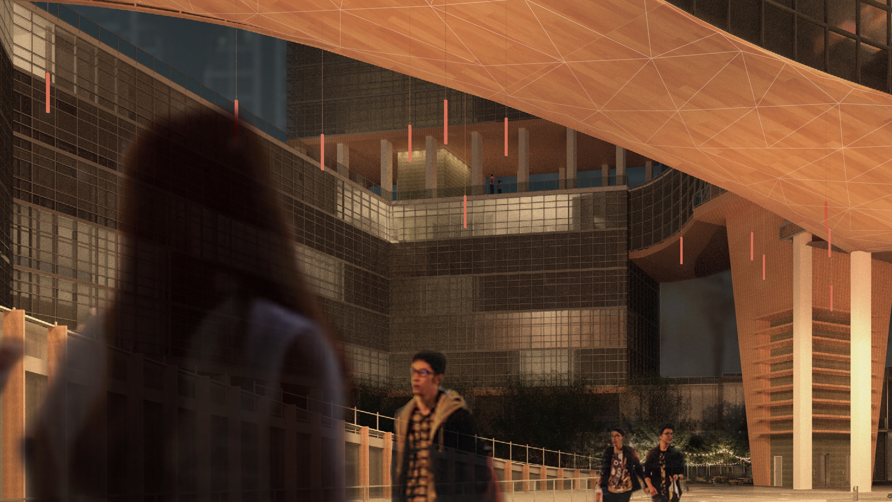
The Chicago Society for Subterranean Studies is largely concerned with the treatment of data, particularly that of seismic activity. The site was initially surveyed with audio recording equipment, after which decibel and frequency levels were mapped using a grid projected onto the site. This created a sonic topography that is used not only as a guide for the development of a form but also as information critical to the use of wave-sensitive instruments to be utilized by the institution.
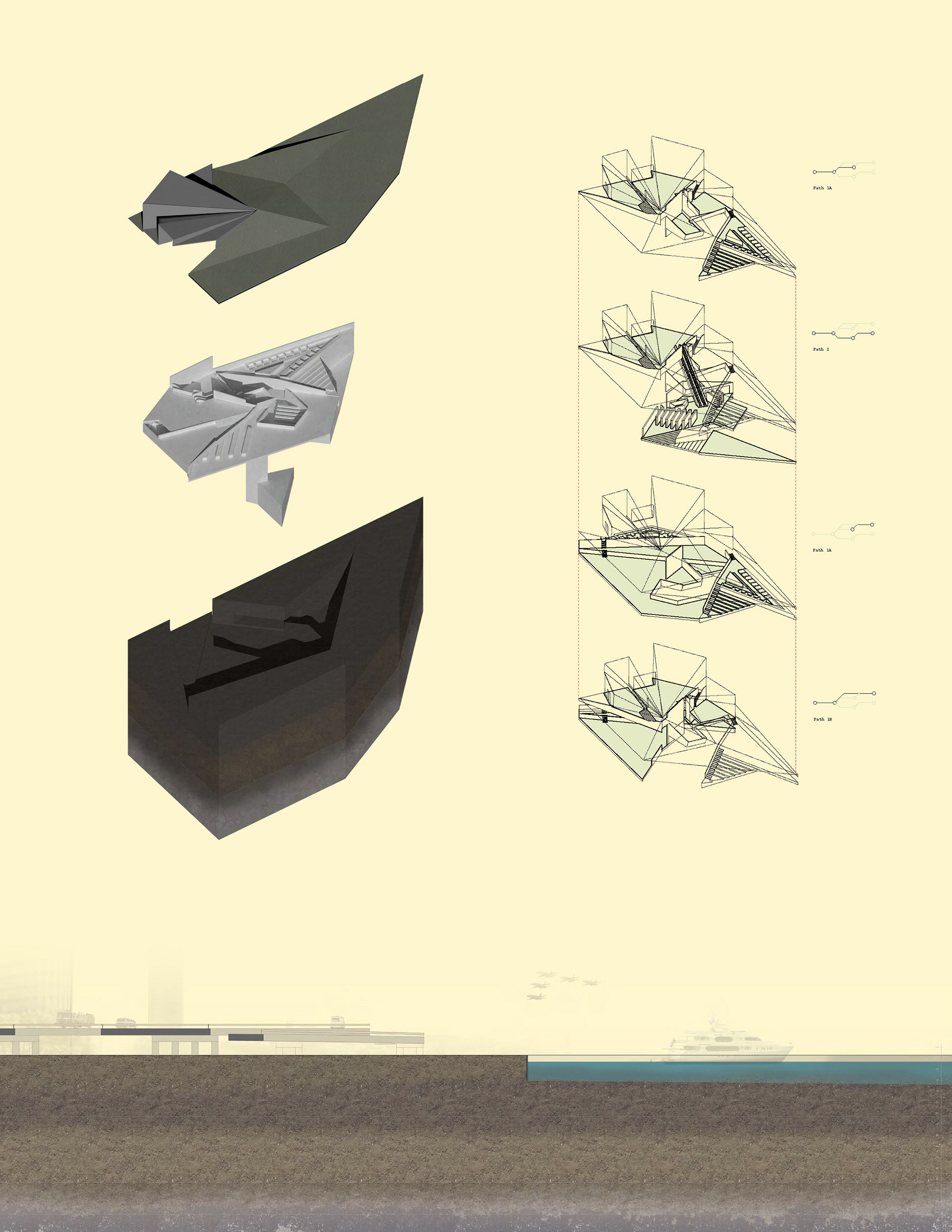

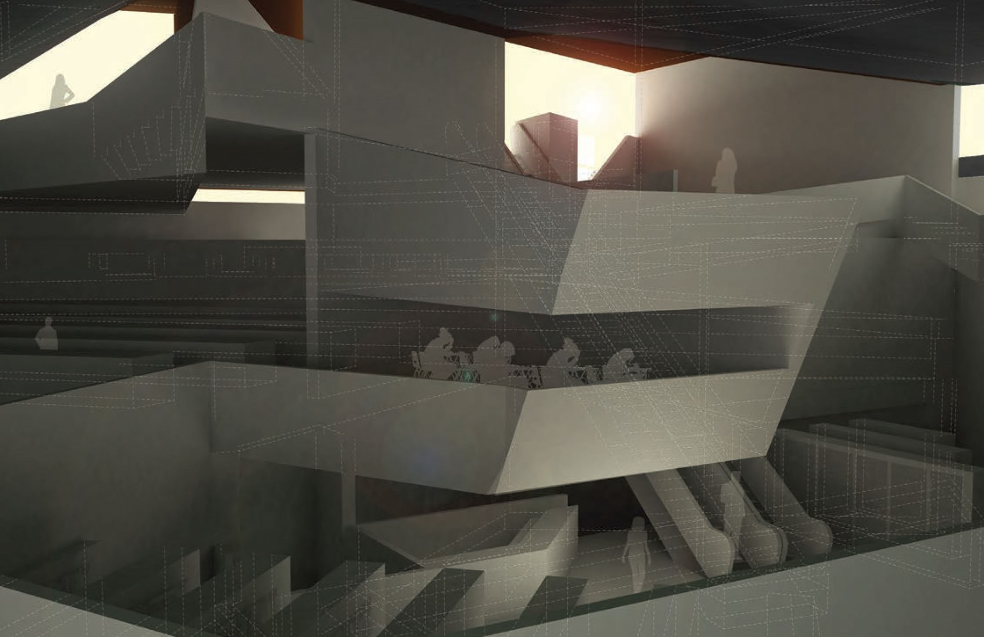
Because the architectural space is essentially uninterrupted, folding and various surface material treatments are employed as a means of controlling noise. The form is derived both from the direct translation of raw data collected from the site to a ground surface coordinate system and from an interpretation of the form as a catalyst for the transmission of data. A further exploration into the concept of ground is concerned with the question, “What is a surface and how is it perceived or defined?”
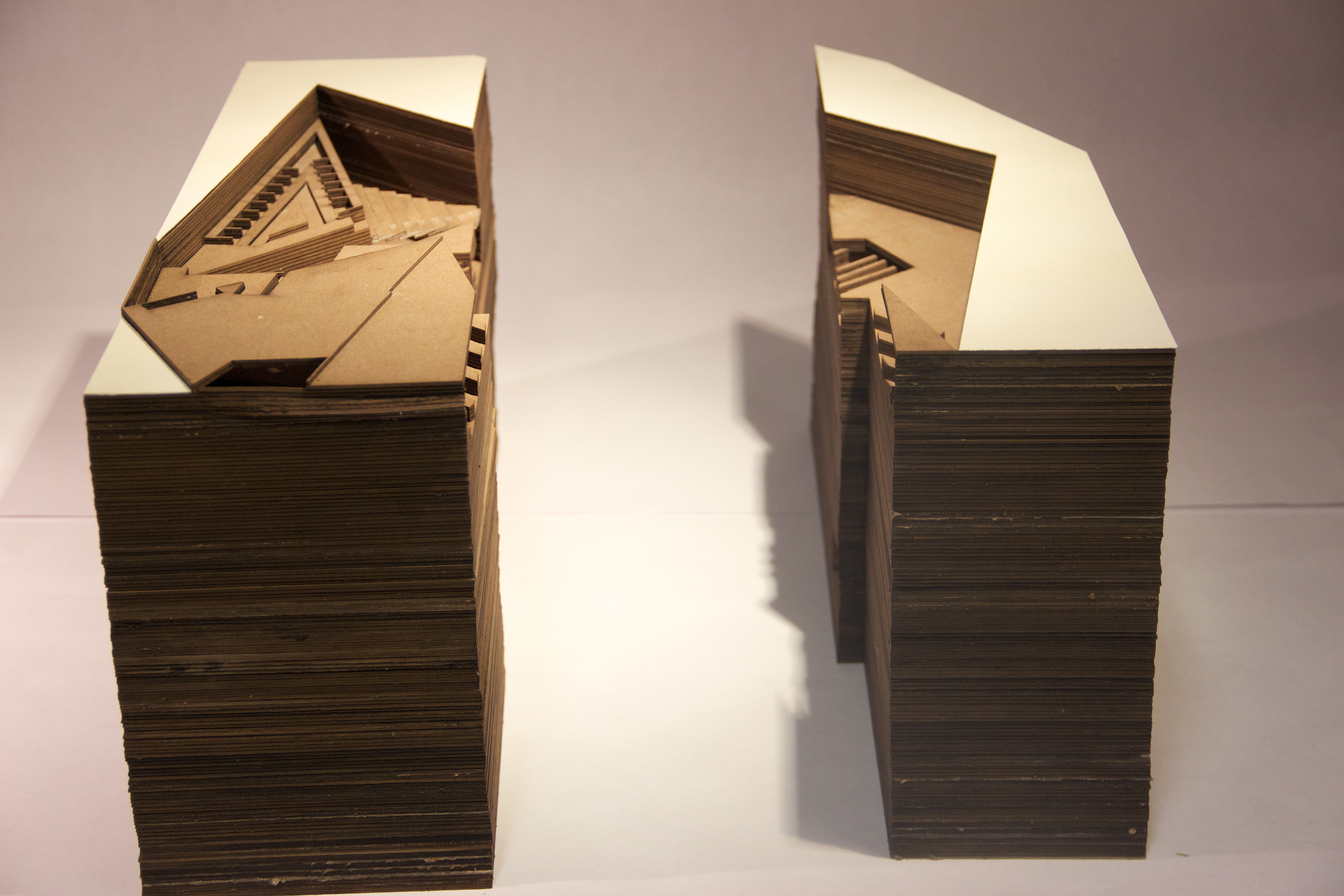
Most of the space is carved from underneath the site, with laboratories extending down to the bedrock at the edge of the lake. Each program area overlooks another in a continuously excavated space, leading the eye of a visitor further downward.